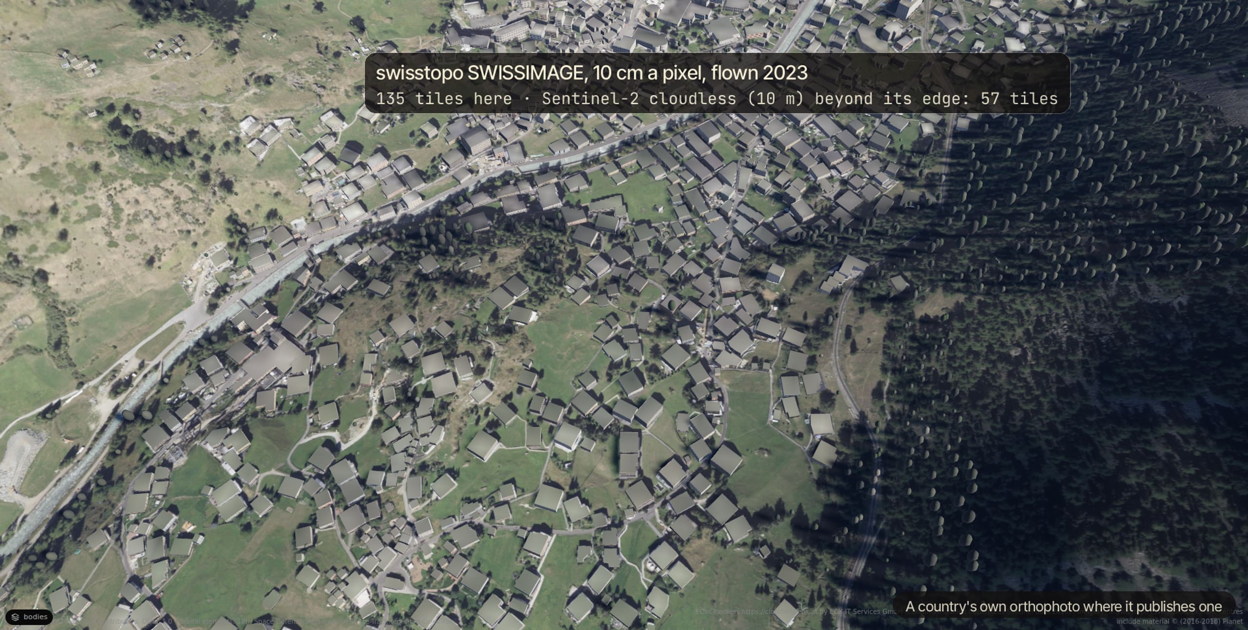
Imagery
NAIP over the United States from the Planetary Computer; a country's own programme where it publishes one (swisstopo, GSI, IGN, PDOK, the Hong Kong Lands Department, Emilia-Romagna); EOX's cloudless Sentinel-2 everywhere else.
The Matrix · matrix.commandagi.app/
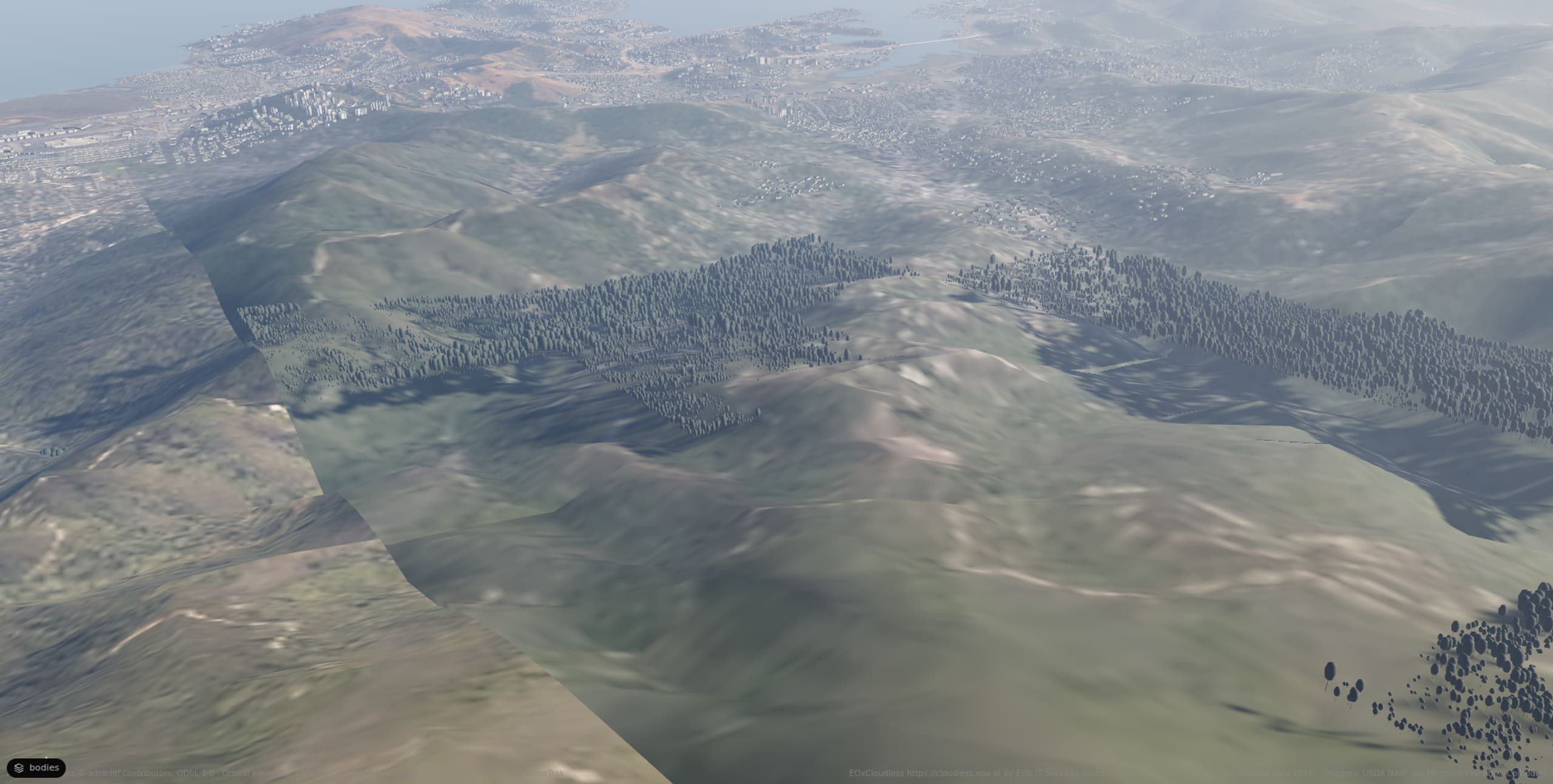
A photoreal twin of the Earth: the ground from orthophotos and LiDAR, the buildings and trees that stand there, the sun and the air of the hour, and what flies overhead. Open it at any place. Put a robot on it.
Drag to look around. Scroll in to fly.Esc gives the page back.
East Peak, Mt TamalpaisThe mountain's woods, Mill Valley and the bay toward San Francisco from above the summit, on a January afternoon in the air measured that day
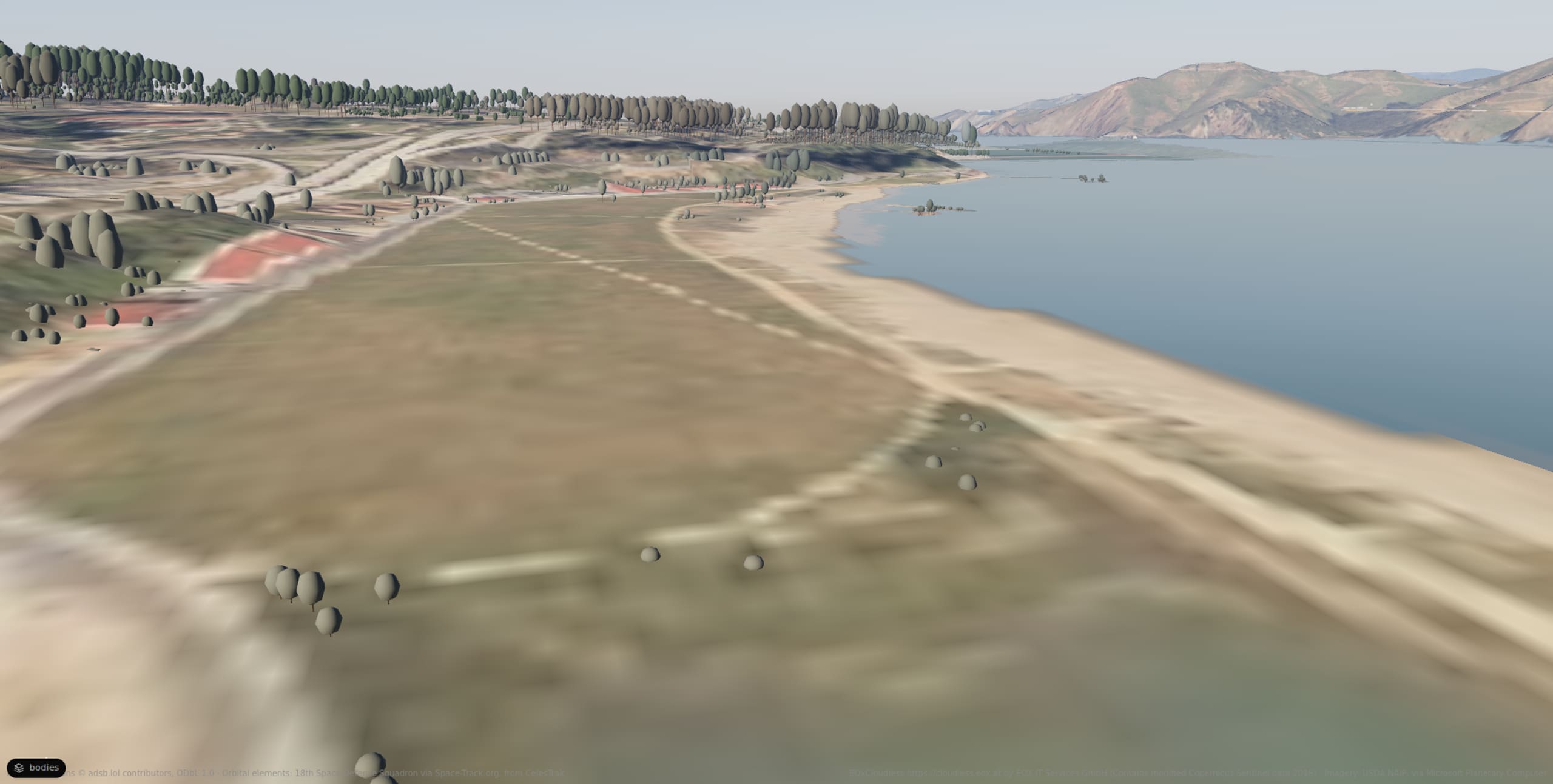
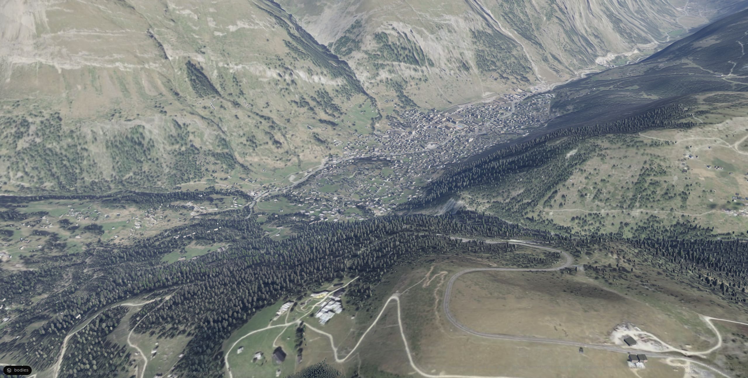
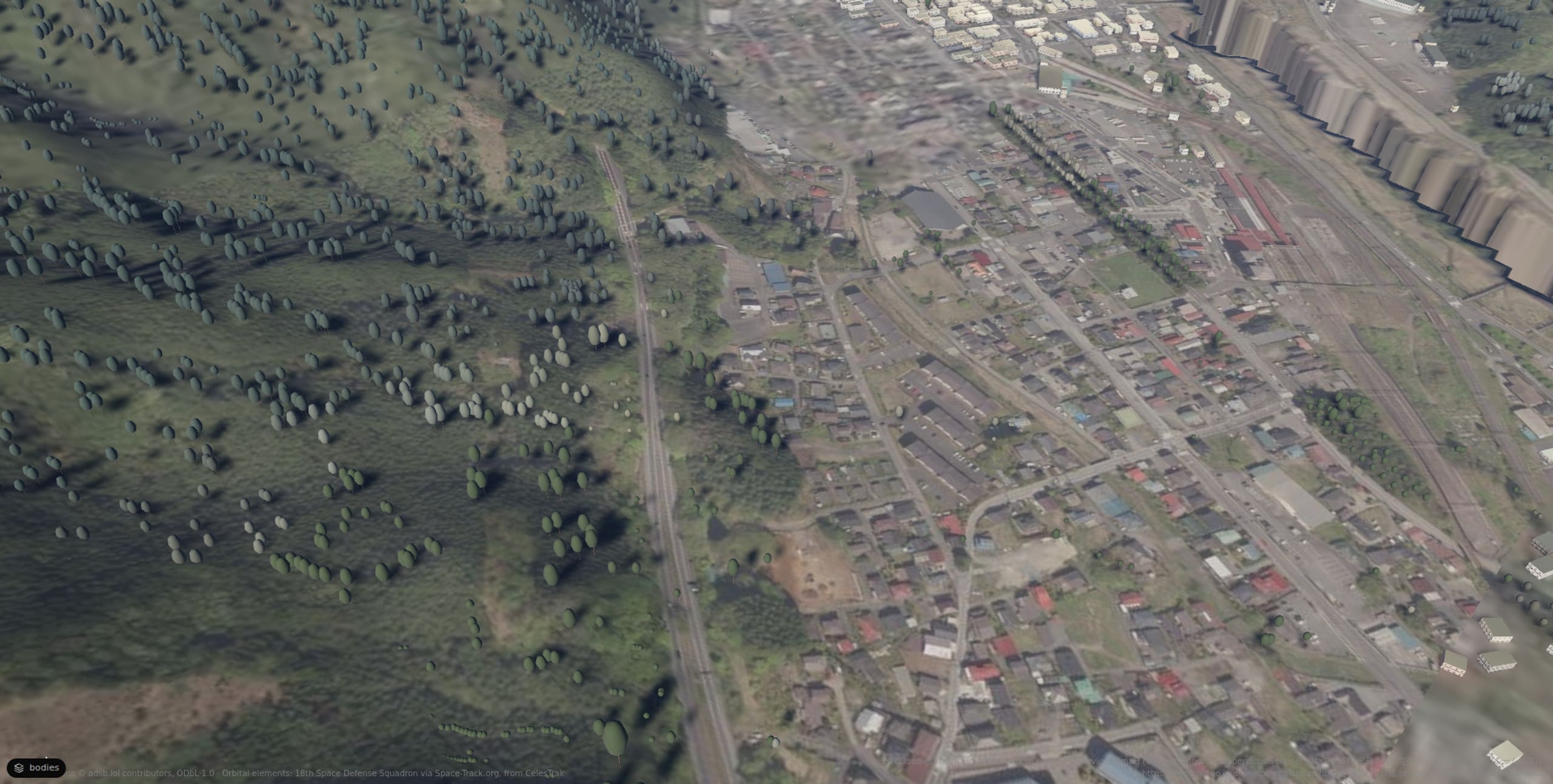
Each place is one file: where it is, and the hour it was measured in. Open one and the viewer stands there, on the ground the sources describe.
NAIP over the United States from the Planetary Computer; a country's own programme where it publishes one (swisstopo, GSI, IGN, PDOK, the Hong Kong Lands Department, Emilia-Romagna); EOX's cloudless Sentinel-2 everywhere else.
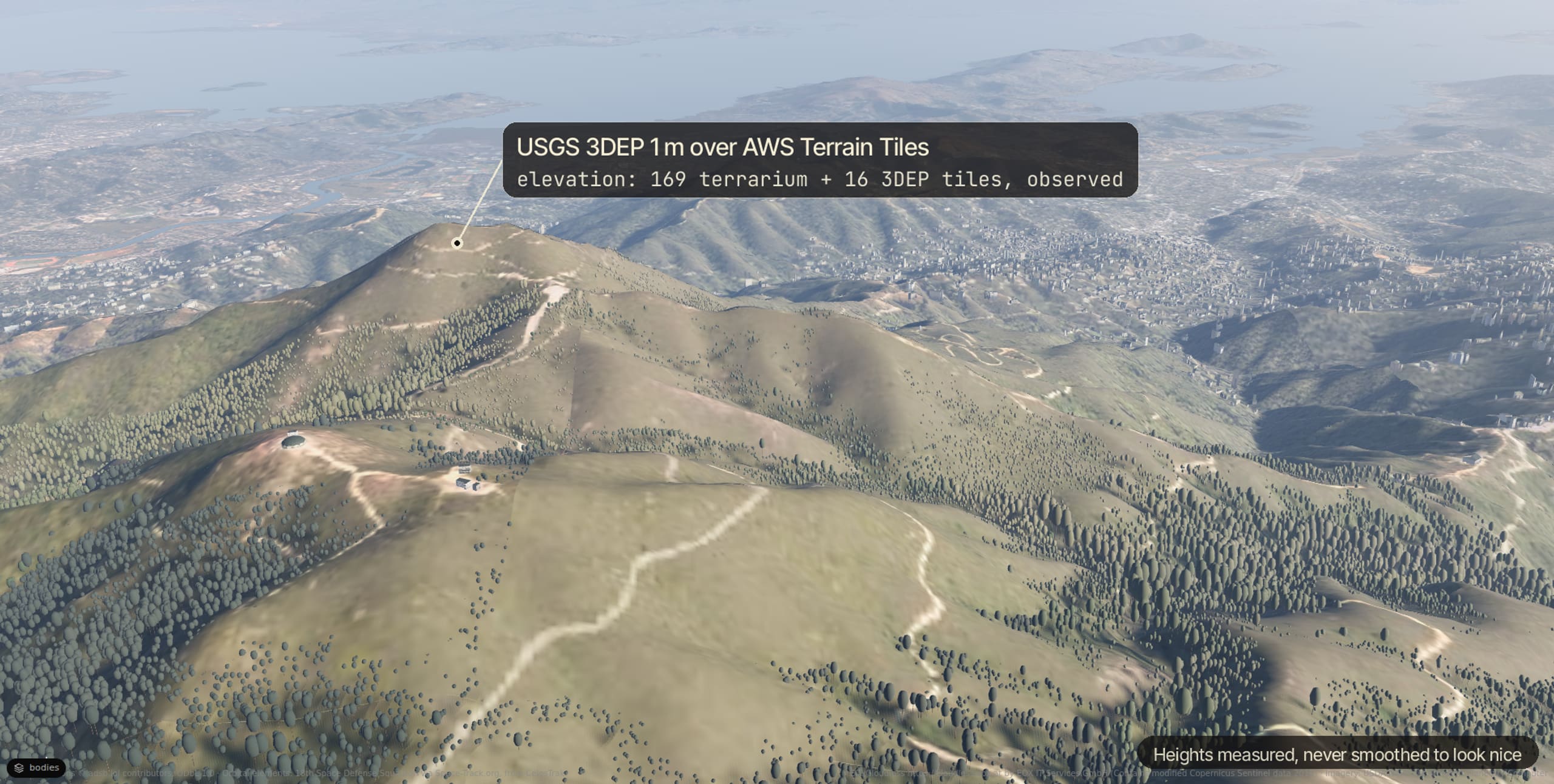
AWS Terrain Tiles for the whole Earth, and USGS 3DEP at 1 m where it exists. The physics ground is the same elevation, at zoom 15, so a robot stands on the real slope.
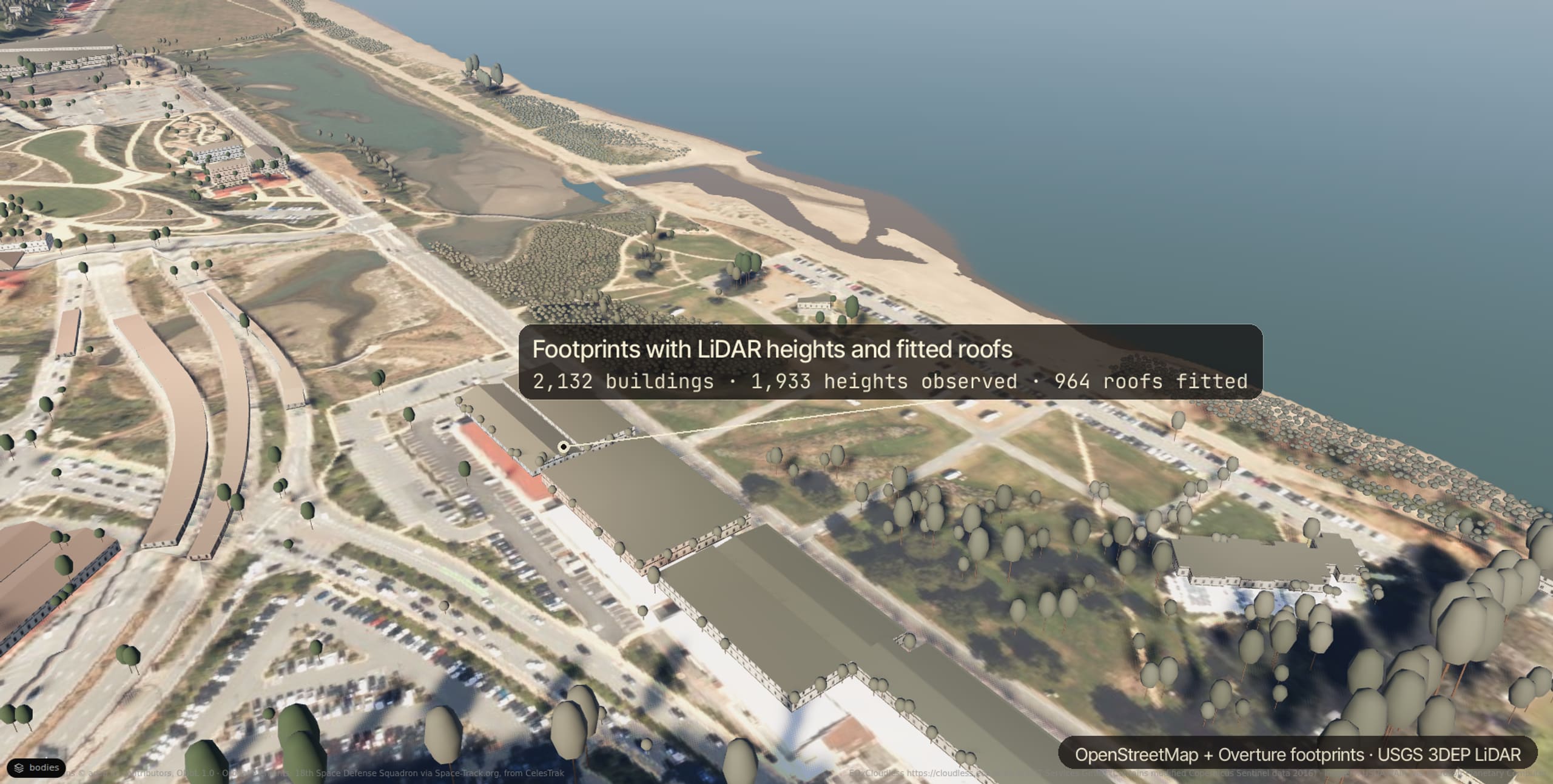
OpenStreetMap and Overture footprints, with LiDAR heights and roofs where a survey flew, and the Lands Department's heights over Hong Kong.
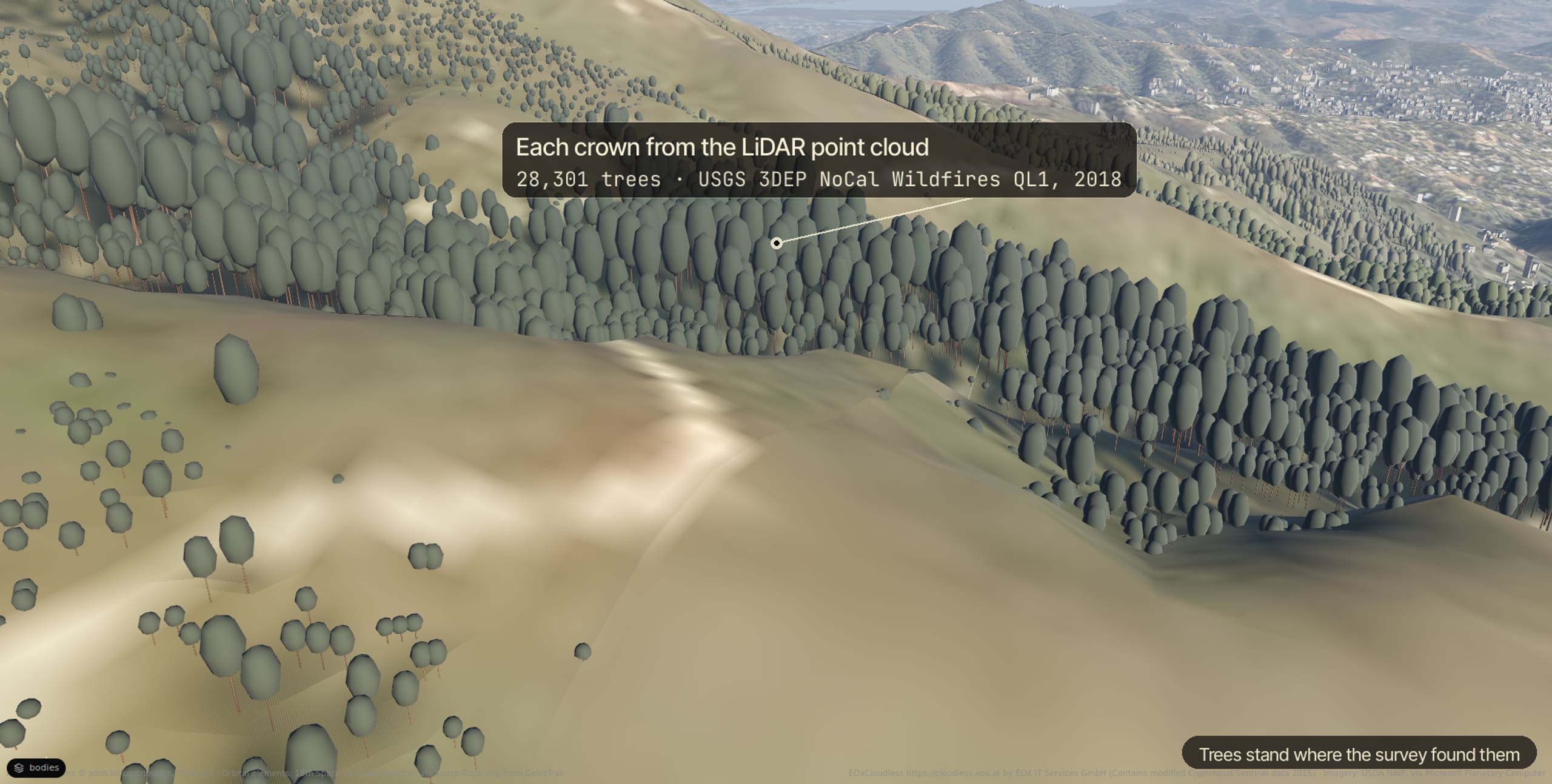
3DEP LiDAR crowns, the Meta and WRI canopy height, and OpenStreetMap's woods, each tree its own shape.
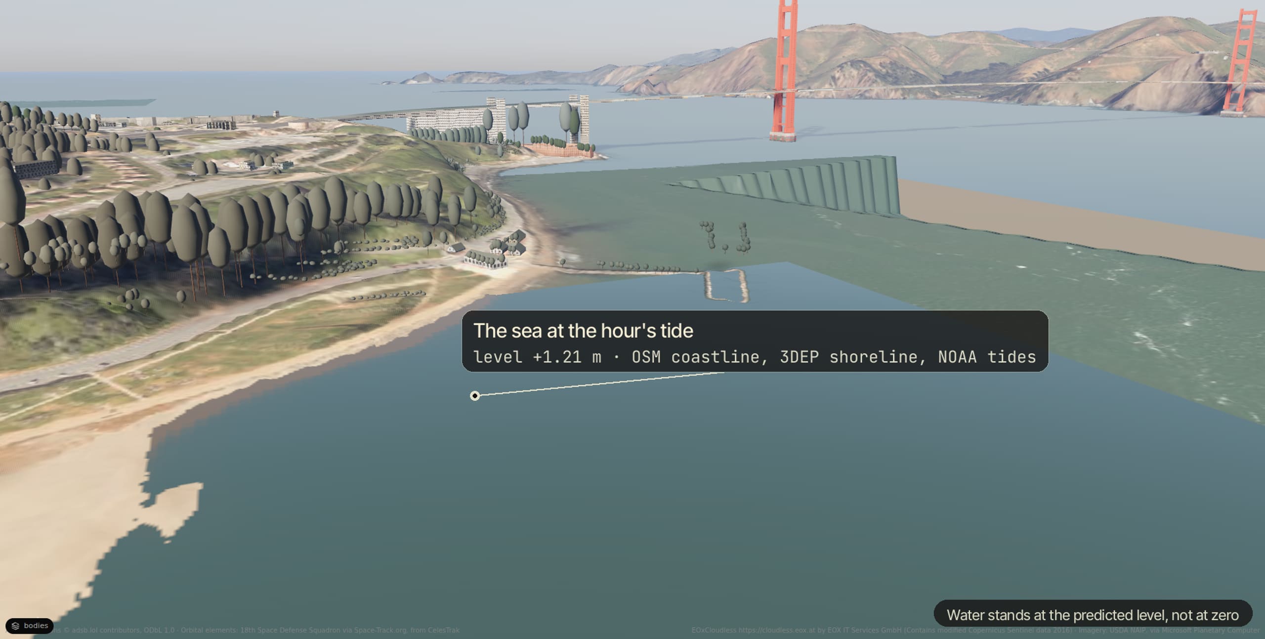
OpenStreetMap's water, NOAA's tides and CUDEM's coastal depths: the sea stands at the hour's level.
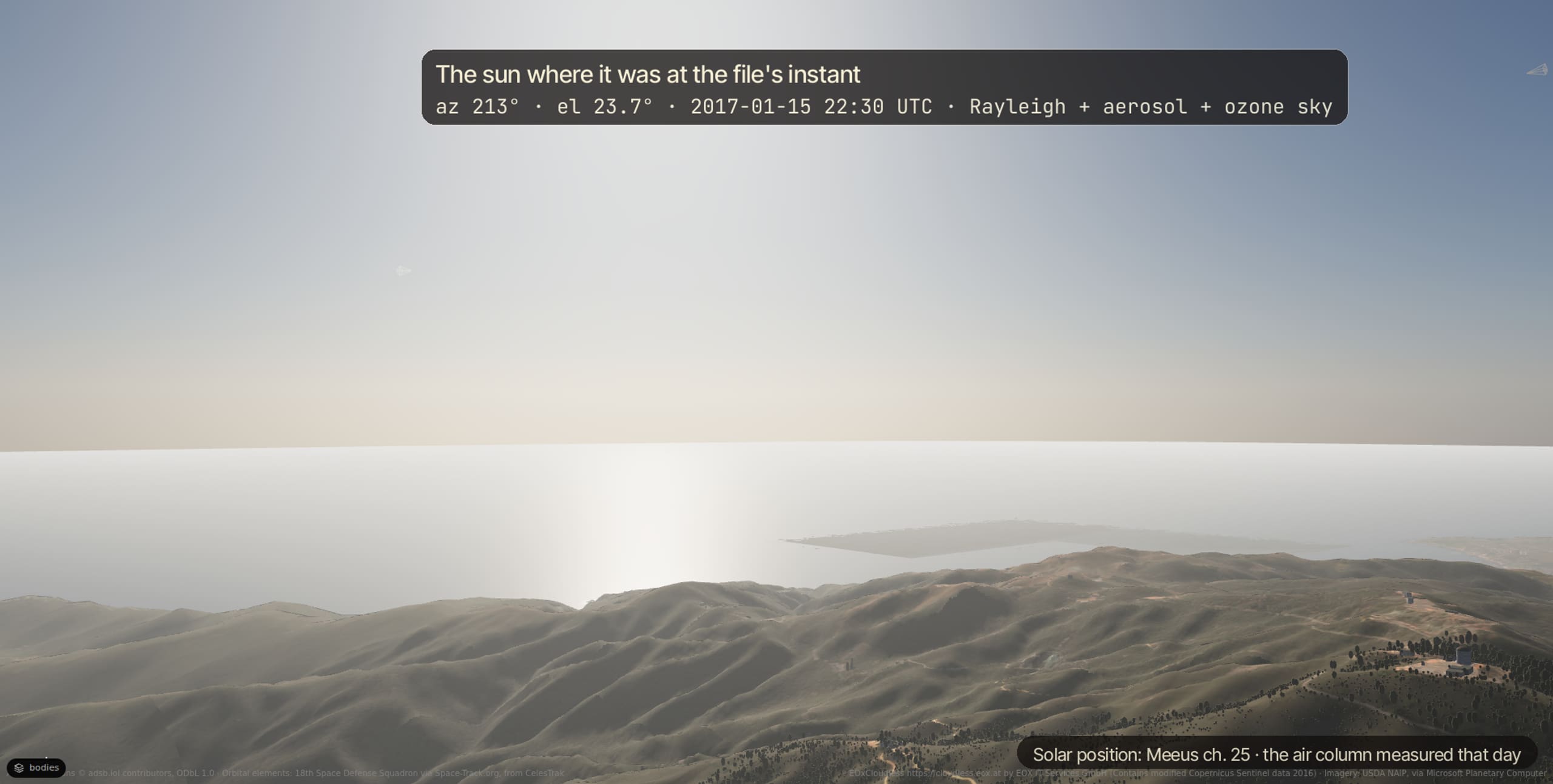
A physical atmosphere: the sun where it was at the file's instant, the air column that was measured that day (aerosol depth, ozone), and the sky it makes.
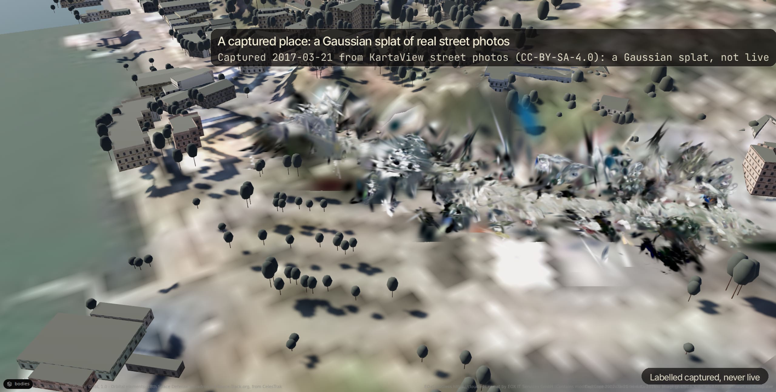
A captured place is a Gaussian splat trained from photos of it, drawn where the photos were taken and labelled captured, never live. Only public-domain, CC0, CC BY and CC BY-SA photos are drawn.
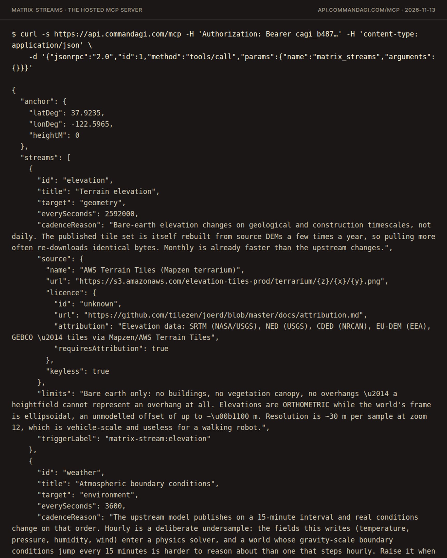
The twin keeps converging on reality: elevation every 30 days, weather every hour from NOAA's weather stations, buildings every 7 days from OpenStreetMap, each a cron trigger on the Matrix's thread that you can read and change.
Aircraft and satellites are live. Vessels are a replay of NOAA's AIS archive, and say so. Every drawn point is marked observed, interpolated or extrapolated, and the viewer's badge says live, recorded or simulated. Ride any of them: chase, cockpit or orbit.
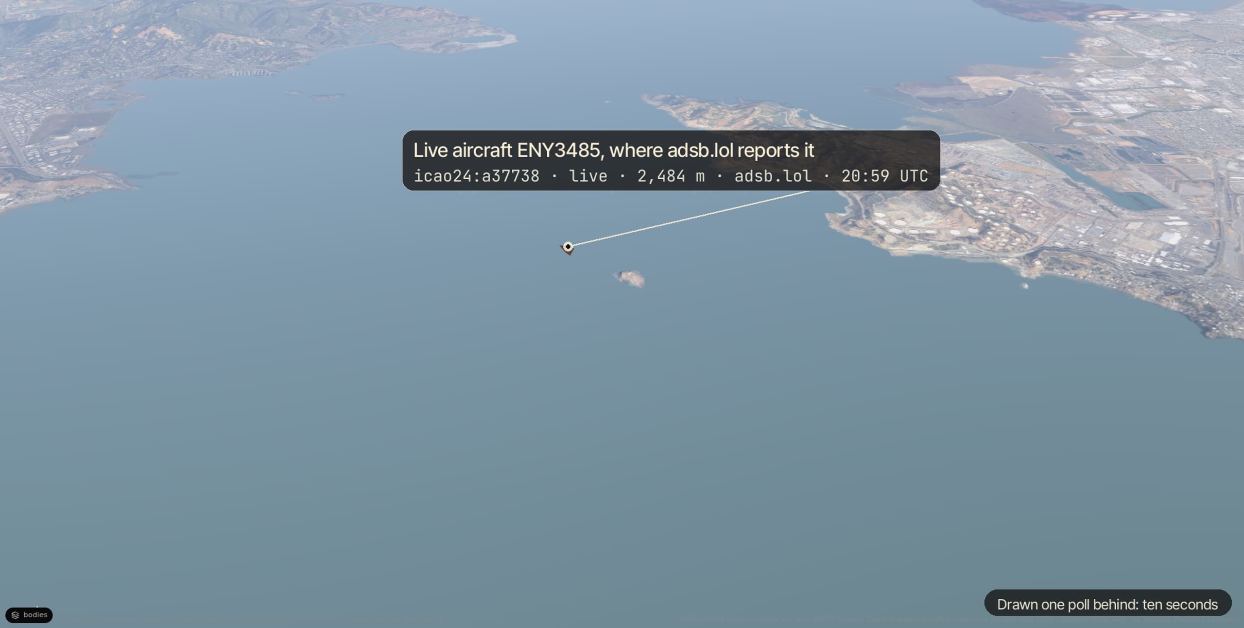
From adsb.lol, drawn one poll behind: ten seconds.
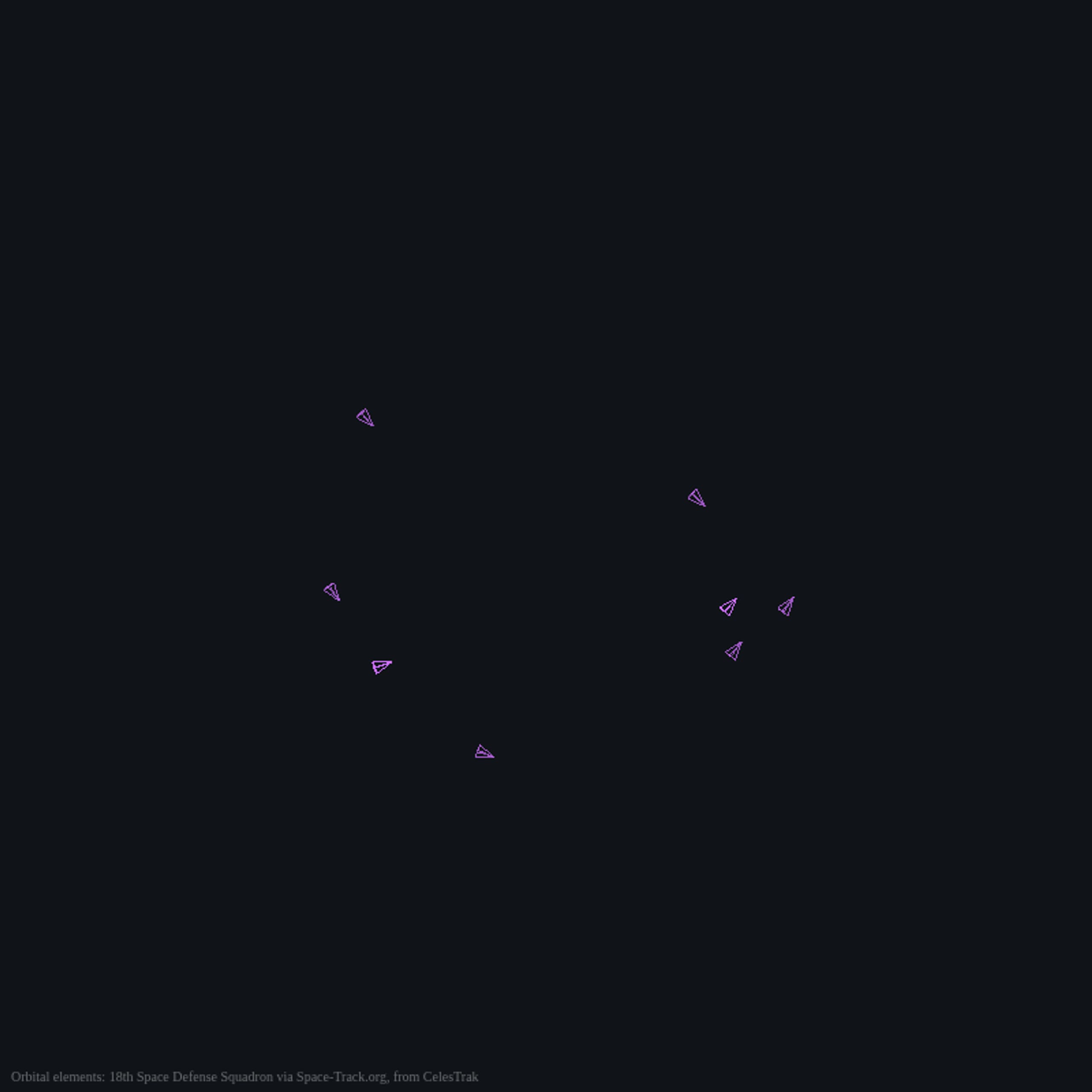
From CelesTrak's elements, propagated by SGP4 to the instant you watch.
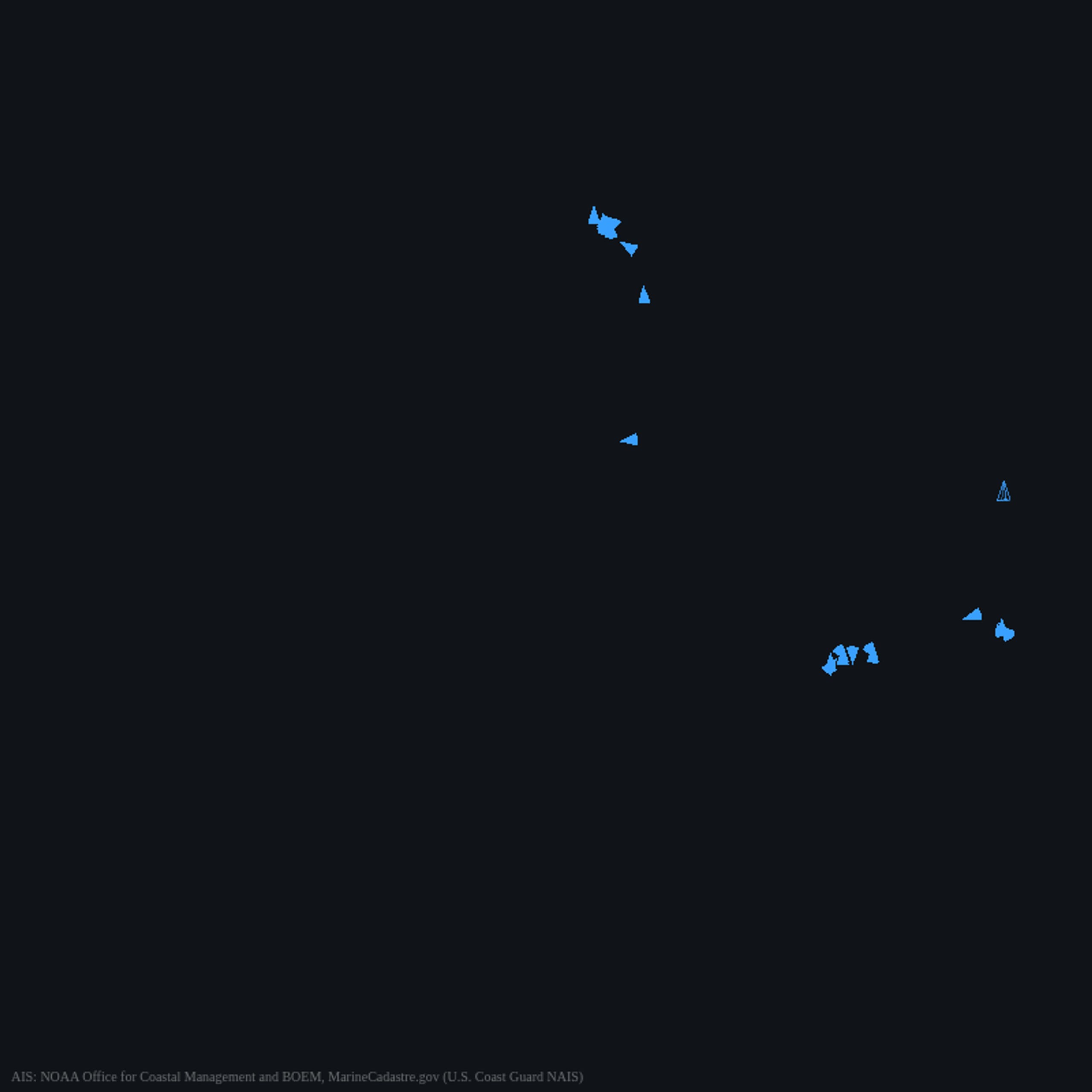
NOAA's AIS archive, replayed: the Golden Gate's vessels of 2025-06-11, drawn by the viewer. There are no live vessels.
The Matrix is one public, shared instance. An agent adds a robot at a place on Earth, reads what keeps the twin honest, and pulls the real world in. Over MCP, over HTTP, or by writing the file.
claude mcp add --transport http commandagi https://api.commandagi.com/mcp \
--header "Authorization: Bearer cagi_YOUR_KEY"matrix_join { "device": "cloud://global/devices/so101-follower-arm/definition.tsx",
"latDeg": 45.995, "lonDeg": 7.756 }
matrix_streams { }
matrix_ingest { "stream": "weather" }curl -X POST https://api.commandagi.com/v1/matrix/join \
-H "Authorization: Bearer cagi_YOUR_KEY" -H "content-type: application/json" \
--data '{ "device": "cloud://global/devices/so101-follower-arm/definition.tsx",
"place": { "latDeg": 45.995, "lonDeg": 7.756 } }'
curl https://api.commandagi.com/v1/matrix/streams -H "Authorization: Bearer cagi_YOUR_KEY"// zermatt.3d.tsx: a place is a georeferenced 3D document, and its hour.
export default () => (
<part name="Zermatt">
<slot name="environment" value={{
georeference: { datum: "WGS84", origin: { latDeg: 45.995, lonDeg: 7.756, heightM: 0 },
frame: "ENU", heightDatum: "orthometric", extentM: 6368 },
solar: { instantUtc: "2026-07-15T08:00:00Z" },
}} />
</part>
);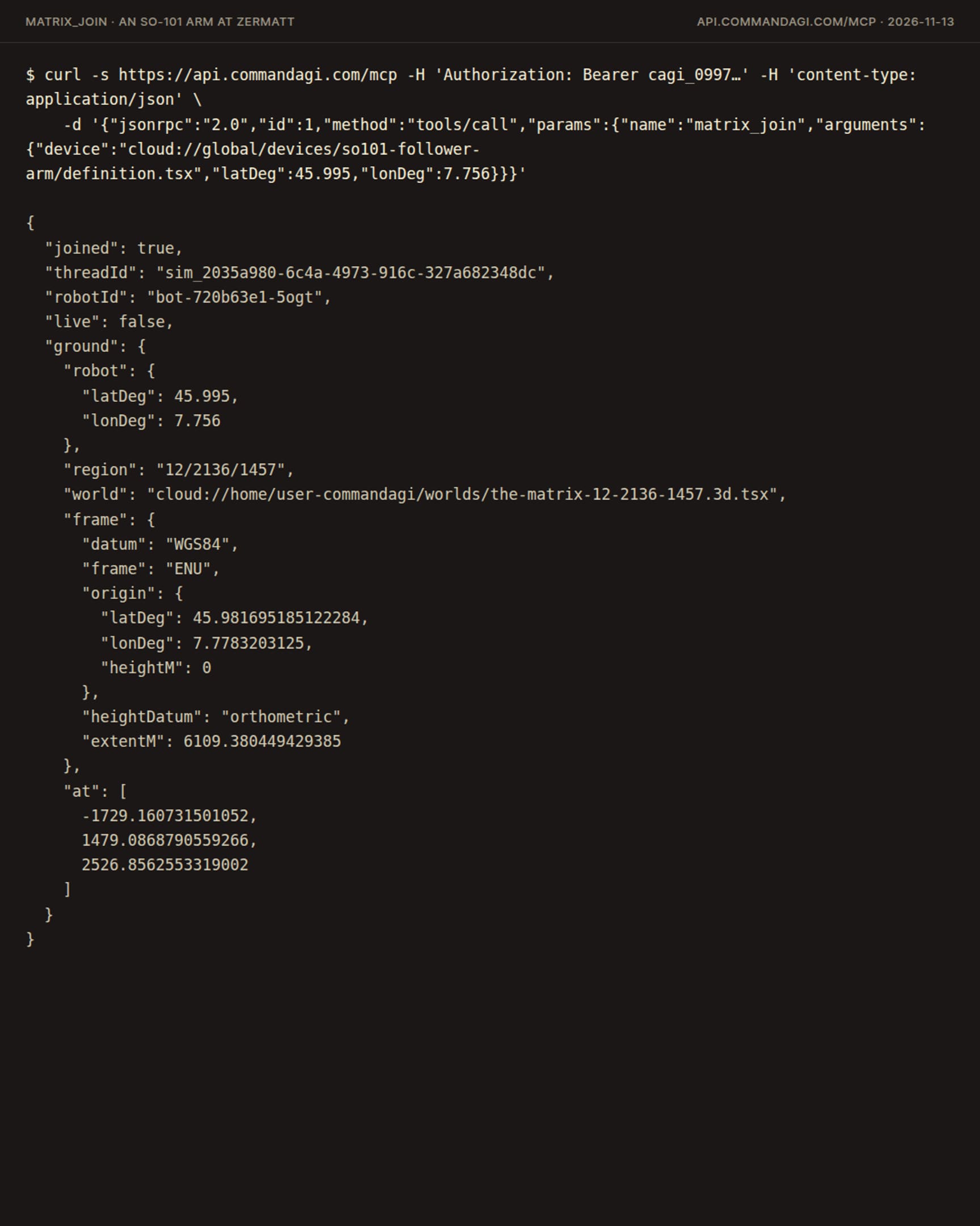
A robot joins at a place and spawns standing on the real elevation there. Its runs are simulated runs of the Matrix: they never count as physical evidence.
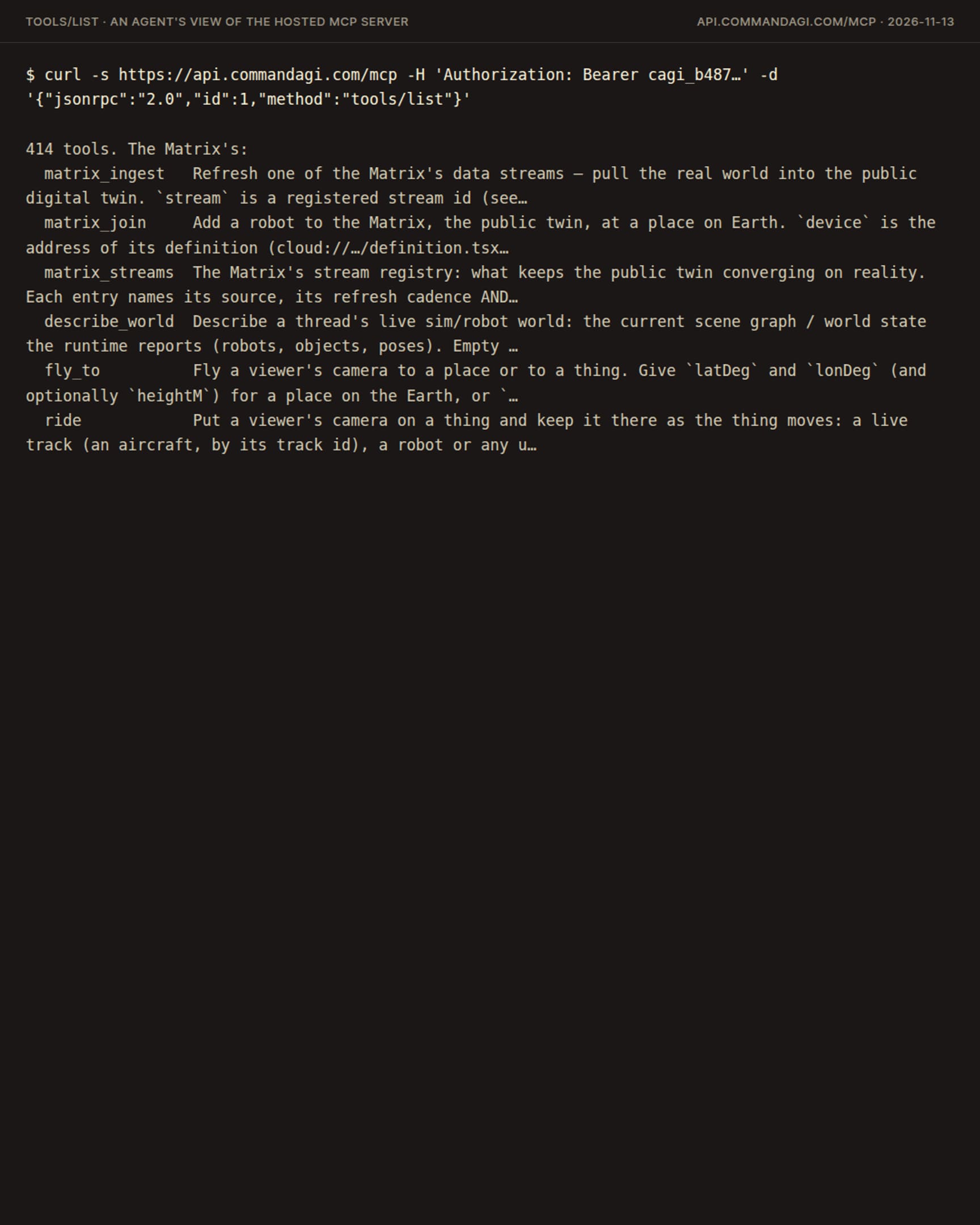
Claude Code, Codex or your own agent, with the hosted MCP server: matrix_join, matrix_streams, matrix_ingest, fly_to and ride.
A facility as one world on the ground it really stands on, its machines streaming in, its dashboards as files.
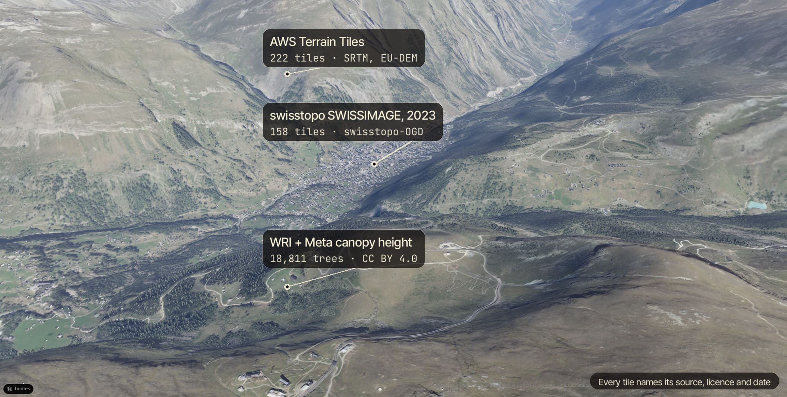
Every tile names its source, licence and date; every number on the twin has its record. Compare the viewer with a photograph, not with a claim.
The Matrix shows what its sources show. A captured street is a splat of the photos, not a photograph, and the viewer labels it so. A simulated run on the real ground is a simulated run. Where a source has nothing, the ground is grey.
It runs in your browser as a guest. Nothing to install.